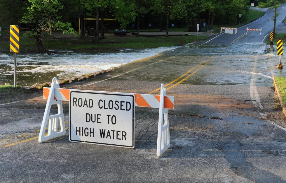
Flood Warnings For Shreveport Lakes And More Rain’s Coming
One could imagine that somewhere in an undisturbed corner of the Arklatex, Noah is again busy building another huge ark.

We have had that much rain and more is expected this morning. Due to all the rainfall, the National Weather Service in Shreveport has issued Flood Warnings for several Shreveport area lakes.
Flood Warning For Cross Bayou at Cross Lake
Presently this Flood Warning is through 9:00 pm tonight (Wednesday, June 5) but with the possibility of more rain today, this time could be extended. Due to this flooding, the Shreveport Police Department has officially closed Cross Lake to all motorized boating activity until further notice. Read more about that HERE.
- At 8:30 pm Tuesday the stage was 173.4 feet.
- Bankfull stage is 172.5 feet.
- Recent Activity...The maximum river stage in the 24 hours ending at 8:30 PM CDT Tuesday was 173.4 feet.
- Forecast...The lake is forecast to continue to rise to 174.5 feet by Wednesday evening. Additional rises are possible with further rainfall on Wednesday. The lake will then slowly fall into the weekend.
- Flood stage is 173.0 feet.
- Flood History...This crest compares to a previous crest of 173.2 feet on 05/01/2016.
Flood Warning For Cypress Bayou at Wallace Lake
The National Weather Service has issued a Flood Warning for Cypress Bayou at Wallace Lake and this continues until further notice.
- At 9:00 pm Tuesday the stage was 153.5 feet
- Bankfull stage is 142.0 feet
- Recent Activity...The maximum river stage in the 24 hours ending at 9:00 pm Tuesday was 153.5 feet
- Forecast...The lake is forecast to crest at 155 feet on Friday afternoon.
- Flood stage is 151.0 feet
- Flood History...This crest compares to a previous crest of 153.9 feet on 04/25/1995.
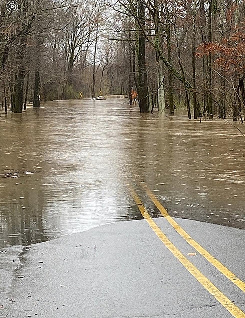
Flood Warning For Big Cypress Bayou at Caddo Lake
The National Weather Service has issued a Flood Warning for Caddo Lake until 1:00 pm on Monday, June 10.
- At 7:30 am on Tuesday, June 4 the stage was 171.3 feet
- Bankfull stage is 169.0 feet
- Forecast...The river is expected to rise above flood stage just after midnight tonight to a crest of 172.5 feet early Thursday morning. It will then fall below flood stage early Sunday morning
- Flood stage is 172.0 feet
- Flood History...This crest compares to a previous crest of 172.5 feet on 05/14/1935
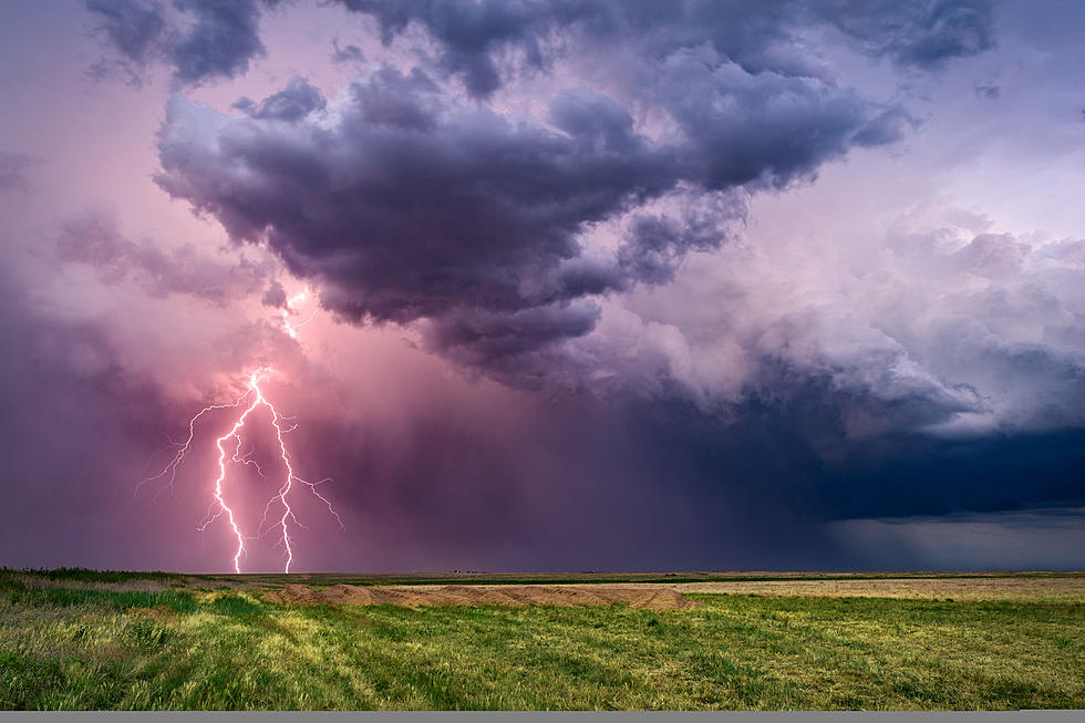
Flood Watch Issued For All Of Arklatex
The sad news is that we are already beginning to see flooding of these bodies of water and many others and we aren't out of the woods yet. According to the National Weather Service, today's rains could total anywhere from 1 to 3 inches causing even further issues.
NWS does say that we could see some cooler temperatures by the weekend as a cold front moves through the area but with that could be additional pop-up storms and we can expect our rivers and bayous to see additional rises with minor river flooding that may continue into next week.
The 19 Hottest Temperatures Ever Recorded in Shreveport
More From KISS Country 93.7