Wicked Arklatex Storms Knock Out Power to Nearly 30,000
Thursday evening, May 30, a series of storms rolled through much of Northwest Louisiana and East Texas leaving behind a web of downed trees and tangled powerlines.

According to a story from KTBS, one of the more powerful events which was part of these storms is a reported EF-1 tornado that touched down at 7:30 pm near the 100 block of Cedar Street in Taylortown.
This tornado is reported to have been approximately 100 yards wide with peak winds of 97 mph. No injuries have been reported in association with the tornado, but there was damage to one home and its carport.
We also have reports of a tornado which did damage in the DeSoto Parish towns of Grand Cane, Frierson and significant damage to a home in Stanley.
Because of the severity of these damaging storms, SWEPCO, as of 4:09 am on Friday, is reporting that a total of 29,478 customers are without power at this time.
Looking at the SWEPCO Outage Map, it would appear outages are widespread, but some of the worst hit appear to be in the area extending from Bellevue to near Dixie Inn, between Bethany and DeBerry, much of Natchitoches and Red River Parishes and the northern end of Toledo Bend in DeSoto Parish.
As SWEPCO crews continue to work to restore power, Mother Nature could be preparing for the next round of destruction.
According to the National Weather Service in Shreveport, the entire Arklatex area could be in for even more severe weather today with the possibility of damaging wind gusts and a low chance for large hail and an isolated tornado with locally heavy rainfall.
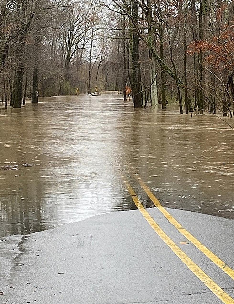
And due to the amount of rainfall we have already received coupled with additional rains in the forecast, the National Weather Service has issued a Flood Watch for most of the northwestern portions of the Arklatex.
To report a SWEPCO outage or safety hazard, which could include downed wires that may be sparking or near water, downed poles or trees that have fallen on power lines, go HERE to swepco.com
LIST: 10 Deadliest Louisiana Hurricanes
Gallery Credit: Rob Kirkpatrick
More From KISS Country 93.7