Scary Weather Possibly Looming For Arklatex By Week’s End
The National Weather Service in Shreveport is keeping a close watch on some possible nasty weather that could move into the area by the end of this week.

Their latest forecast includes the chance for showers and thunderstorms to begin increasing in coverage and intensity late tonight, but especially for Thursday night through Friday, before ending from west to east across our region Friday night.
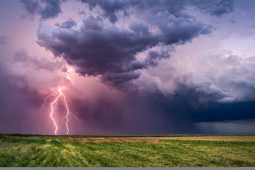
As indicated in the graphics above, Thursday will see a marginal risk of isolated severe thunderstorms which could include damaging winds and large hail.
At This Time, We Only Have A Slight Risk For Severe Weather Thursday
This severe threat will last through Thursday afternoon and into the late evening. After that time, it would appear the threat for severe weather heightens.
The latest models from the NWS show that the chances for severe weather increases to a slight chance for scattered severe storms during the day on Friday.
These storms could affect much of Northwest Louisiana, Southwest Arkansas, Northeast Texas and Southeast Oklahoma.
Included in this slight chance for the area is the chance for large hail, damaging thunderstorm wind gusts and isolated tornadoes with the arrival of this next trough.
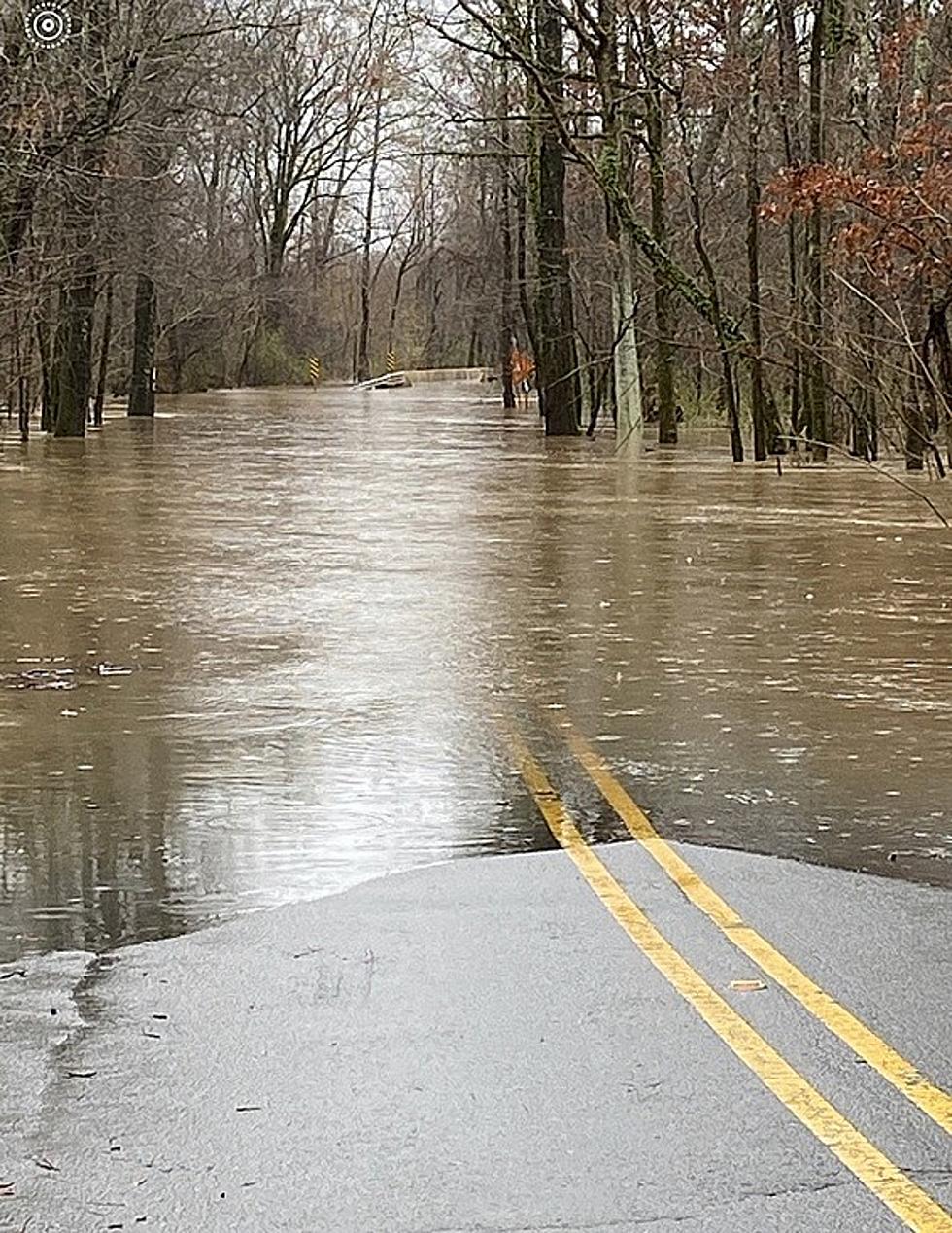
Flood Warning Continues For Bodcau Bayou
The impending severe weather could also further complicate the high water issues looming for Bodcau Bayou which affects many in Bossier and Webster parishes.
The National Weather Service adds that the Flood Warning continues for Bodcau Bayou, including Bayou Bodcau Lake. Minor flooding is forecast but heavy rains in and north of this area could increase flooding potential.
As with all flooding issues such as this, the NWS warns not to drive cars through flooded areas. Caution is urged when walking near riverbanks. Motorists should not attempt to drive around barricades or drive cars through flooded areas.
Turn around, don`t drown when encountering flooded roads. Most flood
deaths occur in vehicles.
Unbelievable Photos Of How Much Shreveport/Bossier Has Changed Since 2007
More From KISS Country 93.7