Flooding Of 2 Shreveport Area Lakes Expected; Warnings Issued
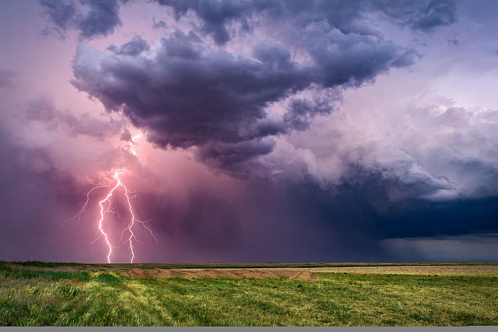
Area weather forecasters told us to prepare for possible heavy rains and they were obviously right with their predictions.

Several inches of rain have already fallen and more rain is likely through this afternoon. Here's a look at the Hazard Outlook issued by the NWS earlier this morning.
Scattered to numerous showers and thunderstorms remain in the forecast through much of the daytime hours and into this evening before the rainfall exits our region to the north and east towards sunrise Thursday Morning. There will be a threat for locally heavy rainfall once again in some places where additional rainfall amounts near one to two inches with isolated higher amounts are possible. Soils remain very saturated and area waterways are full at this time and any additional rainfall will only exacerbate any ongoing flooding from previous rainfall across the region.
And with that amount of rainfall, the National Weather Service in Shreveport has issued a Flood Watch for most of the Arklatex through 7:00 pm this evening.
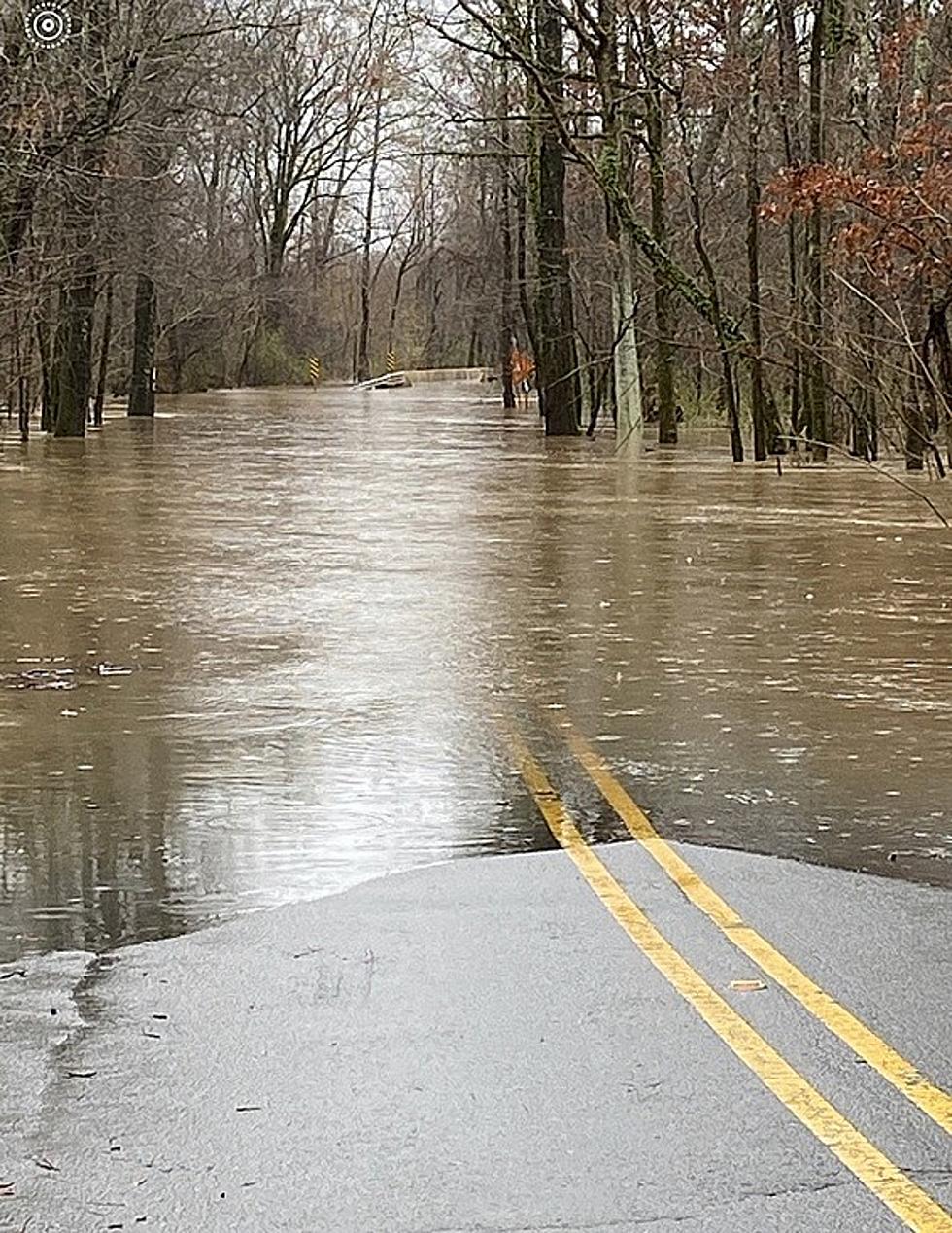
Additionally, the NWS has already stated they expect flooding of at least two Shreveport area lakes and have issued Flood Warnings for the pair.
Flood Warning Issued For Cypress Bayou at Wallace Lake
This warning has been issued until further notice. At 9:00 pm Tuesday night, the stage was 146.1 feet. Bankfull stage is 142.0 feet. The lake has slowly started to increase this morning and will continue to do so over the next few days.
According to National Weather Service forecasters, the lake will continue to rise over the next two days due to rain that has already fallen and rain yet to come. Once the rain stops today (Wednesday, April 10) around noon, the lake should continue to rise before cresting around 152 feet by Thursday night into Friday morning.
This is about a foot over the flood stage of 151.0 feet and compares to the crest of 152.11 feet on May 2, 2016.
Flood Warning Issued For Cross Bayou at Cross Lake
The National Weather Service has issued this Flood Warning until Friday afternoon. Forecasters warn to prepare for minor flooding .
At 9:30 pm Tuesday the stage was 172.6 feet. Bankfull stage is 172.5 feet. The forecast crest is 173.5 feet around 1:00 pm this afternoon and flood stage is 173.0 feet.
The NWS says this flood crest compares to the crest of 173.2 feet on May 1, 2016.
Why Does It Only Hail in Summer and Other Weird Weather Facts
More From KISS Country 93.7