More Heavy Rain, High Winds And Hail Possible For Shreveport
Apparently Mother Nature has decided that every week she has to remind us that she's still in charge around here.

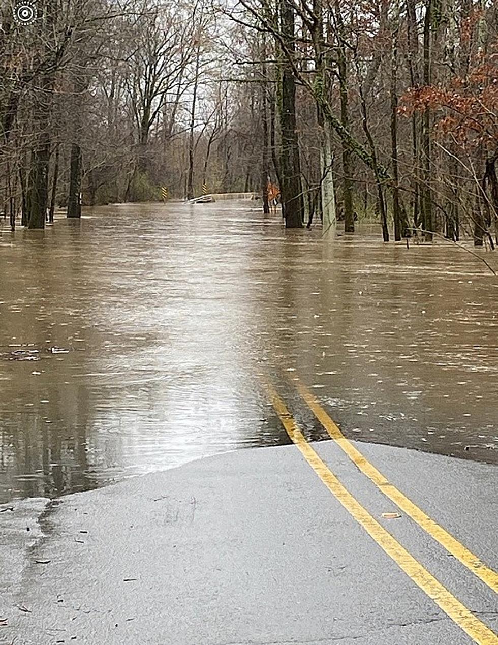
You might recall the severe storms that hit Northwest Louisiana last Thursday, April 20. Though we were spared any tornadoes or large hail, we saw an unusually heavy amount of rainfall.
Of course, the week before, on Saturday, April 15, much of the area got hit with some damaging large hail. Some areas reported the hail to last nearly twenty minutes. My parents, who live in the Haughton area, actually caught some of the action on video.
And apparently, today's the day Mother Nature is set to flex her muscles once again.
According to the National Weather Service in Shreveport, while we will see some rain and scattered thunderstorms this morning, a series of severe thunderstorms are possible across much of the Arklatex this afternoon and continuing into early tomorrow (Thursday, April 27) morning.
In a Hazardous Weather Outlook for all the area, forecasters say that damaging winds and large hail are the primary threats, but the chance for isolated tornadoes could not be ruled out. In addition, locally heavy rainfall is possible, which could lead to isolated flooding.
Portions of Northeast Texas including Mineola, Longview and Tyler are at the greatest risk, but as illustrated below, Shreveport and much of North Louisiana is at a slight risk for damaging winds of 58 miles per hour or greater.
As with any severe weather activity such as this, continue to monitor this radio station for updates on conditions.
LOOK: Here are the pets banned in each state
LOOK: See how much gasoline cost the year you started driving
More From KISS Country 93.7